|
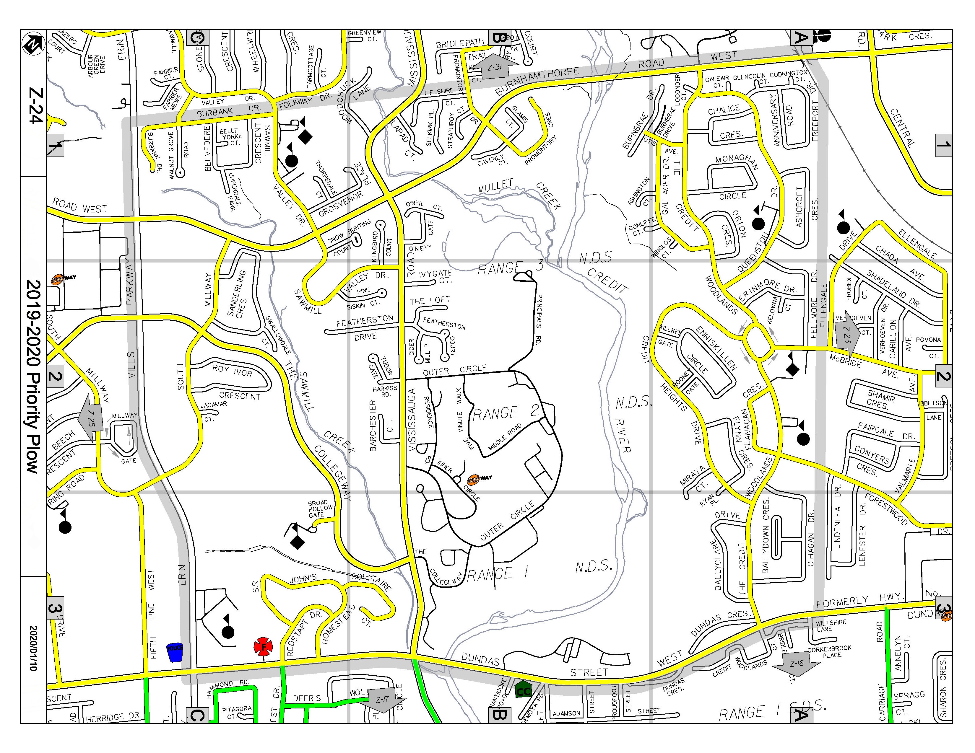
Priority roads are shown on the map below by
thick, coloured lines. These roads are cleared by the City of Mississauga
before residential roads are cleared. A priority road is defined as a key route
for emergency vehicles, public transportation and the majority of street
traffic. These roads are plowed first to achieve bare pavement when snowfalls
exceed 8cm (3 inches).
 |
Yellow Lines - Mavis Yard
area
between and including Dundas Street and Eglinton Avenue |
 |
Red Lines - Meadowvale Yard
area north of Eglinton Avenue and west of [and
including] Mavis Road |
 |
Blue Lines - Malton Yard
area north of
Eglinton Avenue and east of Mavis Road |
 |
Green Lines - Clarkson Yard
area
south of Dundas Street |
|


